

Dragoon Gulch Trail is a City of Sonora trail system in Sonora, California, winding through Mother Lode oak woodlands. Its creekside routes lead to views over Sonora and the surrounding mountain ranges, making it a town-based outdoor outing; the trail is about 0.2 miles from a three-star lodge in Sonora.
- Setting: Mother Lode oak woodlands and a seasonal creek.
- Trail network: 3.1 miles of trails, with difficulty ranging from easy to strenuous.
- Access: Woods Creek and Alpine trailheads have different access features.
- Hours: The trail is open from dawn to dusk.
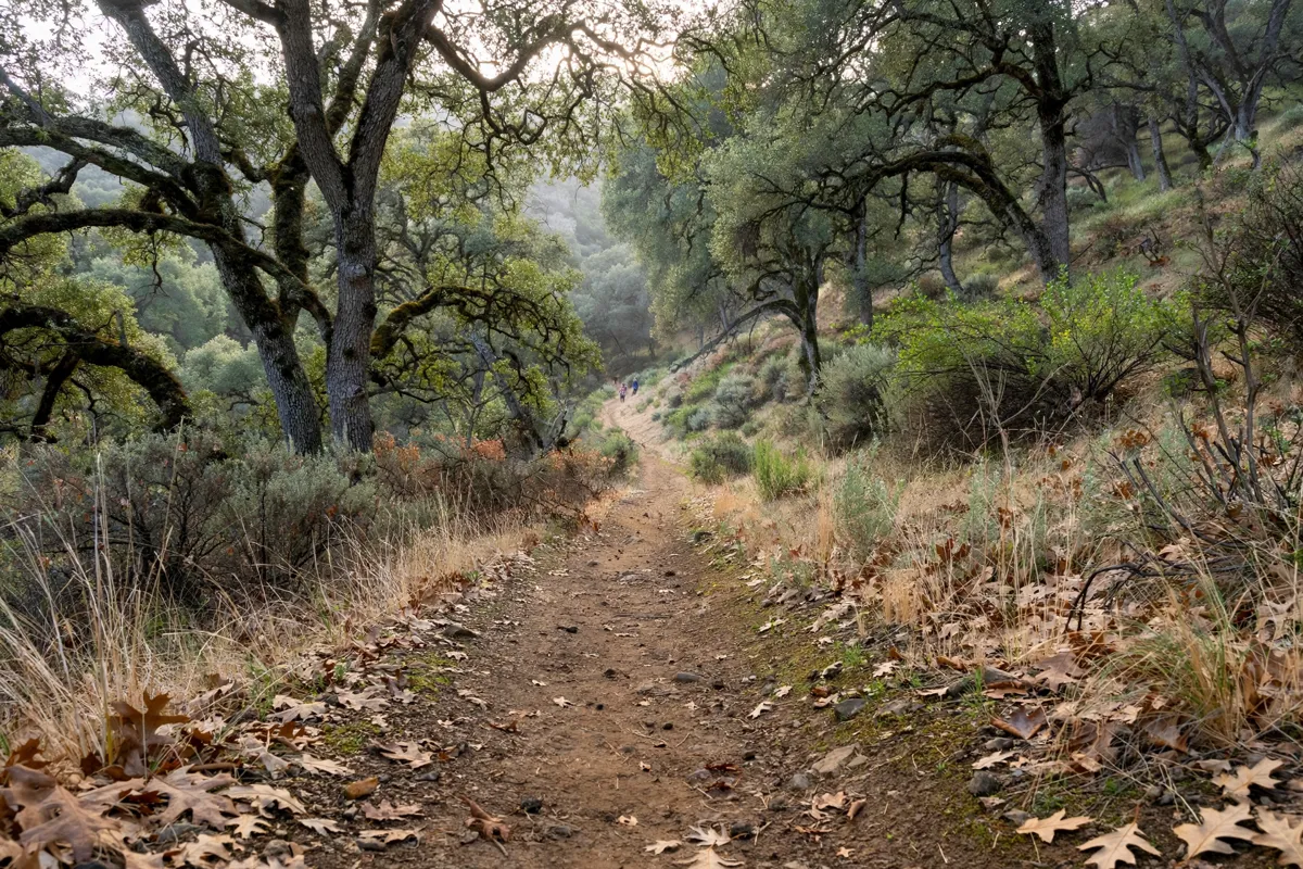
Trail setting and route options
Dragoon Gulch Trail offers a network of routes through oak woodland, with seasonal-creek sections and vistas above Sonora. The trail system covers 3.1 miles, but there is no estimated walking duration, so plan your outing around the route you choose rather than a set time.
Surfaces vary across the network. The southerly section of Creekside Trail is surfaced and ADA accessible, while North Forest Trail is paved; the other trails have natural surfaces. Spring brings wildflowers to the trail’s slopes.
Difficulty ranges from easy to strenuous. Check the City of Sonora’s trail information before setting out for current access details.
How do you get to the Dragoon Gulch Trail trailheads?
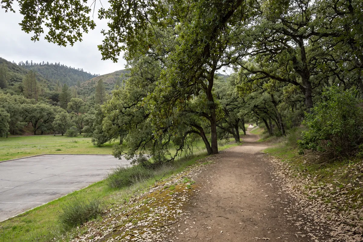
The Woods Creek Trailhead is at Woods Creek Park, where parking is available at the trail entrance and public restrooms are available in the park. From northbound Highway 49, turn left onto Woods Creek Drive, opposite the Mother Lode Fairgrounds, and follow the trail signs; if you’re travelling southbound, turn right onto Woods Creek Drive.
The Alpine Trailhead is the City’s ADA trail-access point, with an entrance and parking lot at the end of Alpine Lane. The City’s directions route you via Highway 49, Snell Street, Calaveras Street, and Alpine Lane. Its gate is locked at dark.
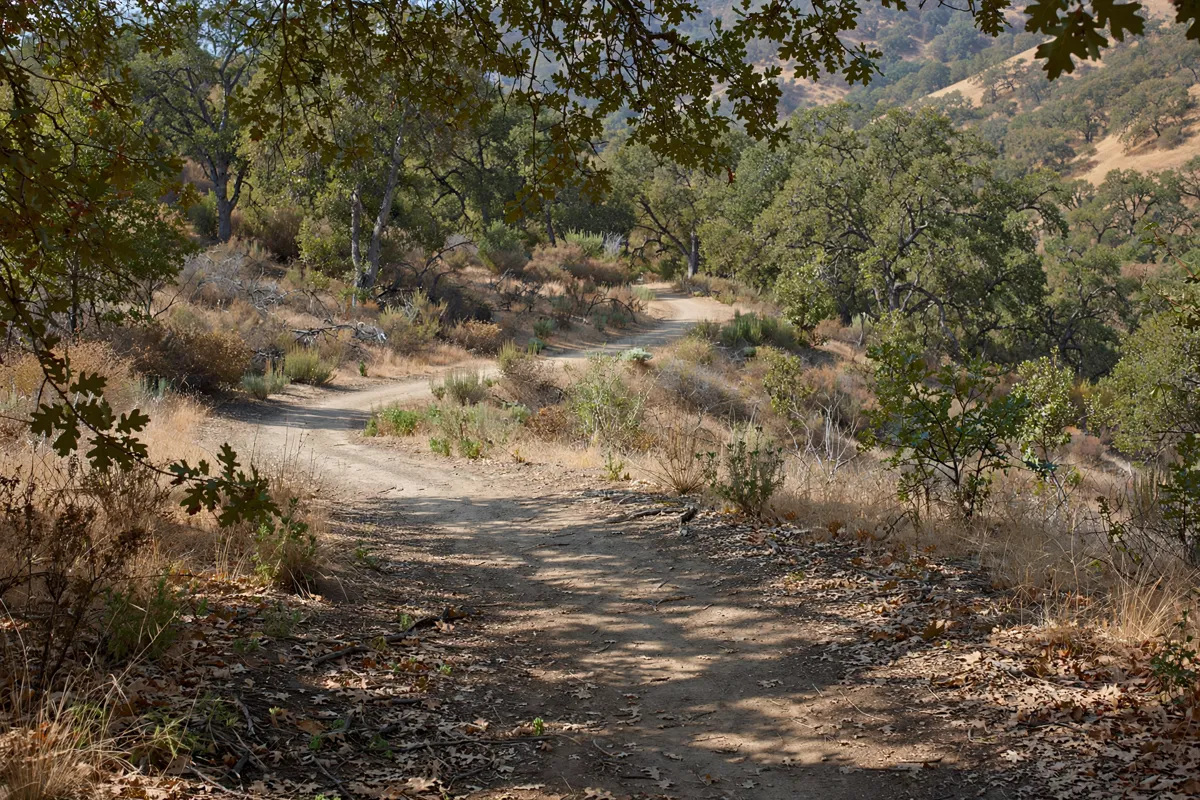
Trail conditions, access and etiquette
Trail surfaces and access features differ by route, and there is no live trail-condition report. The trail is open from dawn to dusk; check the official site before you go for current trail information.
Keep dogs restrained on a leash and pick up and properly dispose of pet droppings. Motorized vehicles, equestrians, camping and fires are prohibited. Bikers must yield to pedestrians and keep to a reasonable speed.
What should you bring for a walk?
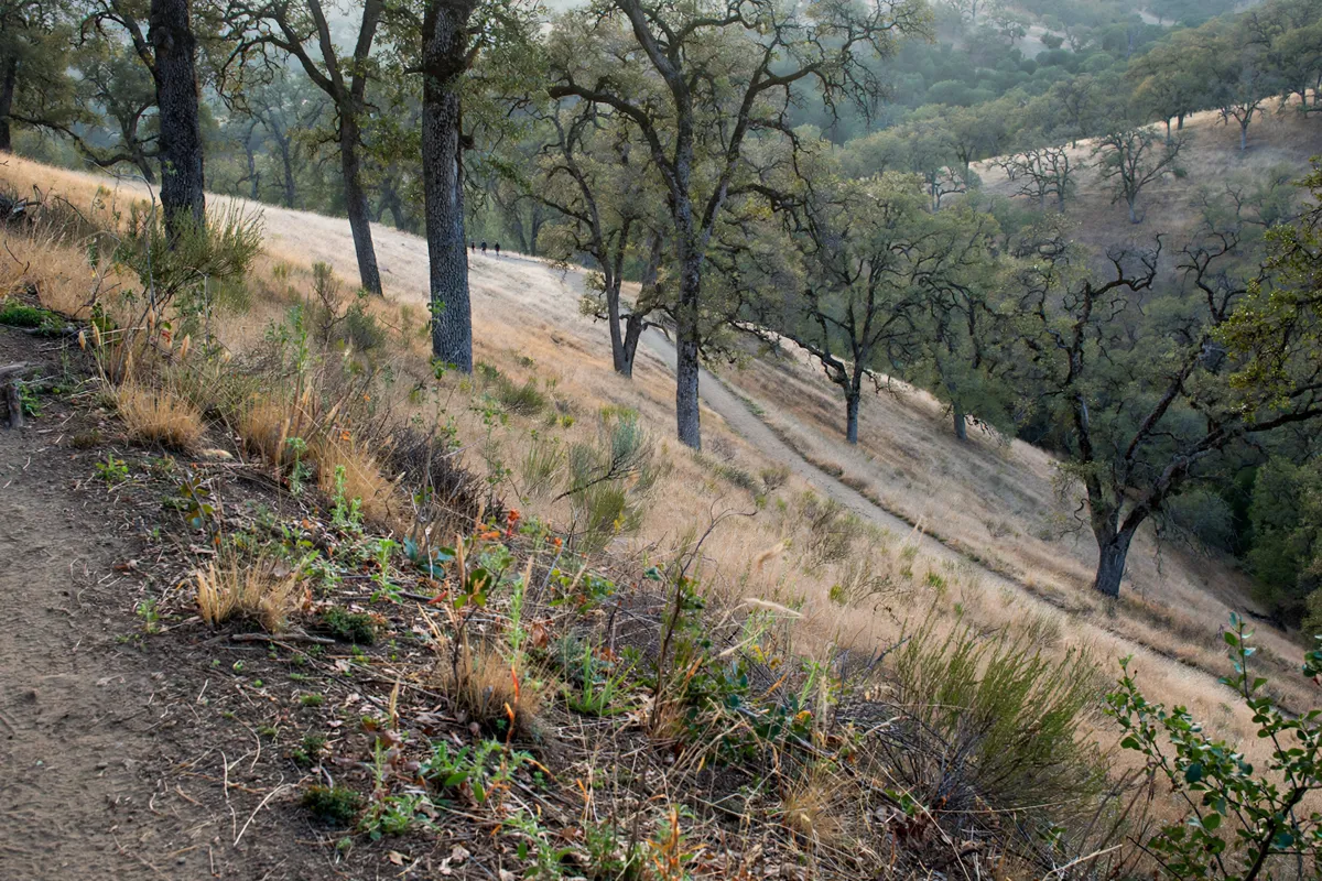
Bring water and drink it during your walk; do not drink from streams. Wear appropriate clothing and footwear for the route and its surface, particularly if you choose a natural-surface trail.
Combining the trail with downtown Sonora
Pair time on the trail with a visit to Sonora city centre for a town-focused outing.
FAQs
Is Dragoon Gulch Trail suitable for different ability levels?
The trail difficulty ranges from easy to strenuous. Surface and access features vary by trail section.
Can you bring a dog to Dragoon Gulch Trail?
Yes. Dogs must stay on a leash, and you should pick up and properly dispose of pet droppings.
Are there restrooms at a trailhead?
Public restrooms are available at Woods Creek Park, where the Woods Creek Trailhead is located.
Can you camp or have a fire on the trail?
No. Camping and building fires are prohibited, as are motorized vehicles and equestrians.